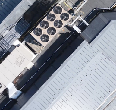
How it Works: Coast 2 Coast AIM Technical Surveys

Coast2Coast > Articles & News > Aerial Survey > How it Works: Coast 2 Coast AIM Technical Surveys

BEFORE THE FLIGHT

No matter which solution we are offering, pre-flight planning is critical.

  1. Review the location to see if there were any obstructions
  2. Ensure that flight will not be in violation of any FAA regulations and/or make the request
  3. Find the safest access point
  4. Determine the best equipment for the job
  5. Create automated flight plans
Drone Monitor Construction

ON FLIGHT DAY

We’ll review the site and scope to ensure we collect the data to meet your specific project requirements.

  1. Site-specific training, validate/determine access, obstructions
  2. Step through the safety checklist to ensure personal protection and equipment functionality (personal protective equipment)
  3. Walk the site to verify survey control points, access point and ensure take-off point will be in range throughout the flight and line of sight is sustained
  4. Modify plan flight as necessary verify speed, altitude, camera pitch and overlap
  5. Load pre-planned flight and take off
  6. Conduct continuous flight monitoring focusing on drone flight path, monitoring battery usage, wind variations, and site safety concerns
  7. Repeat procedure for each flight
Drone Inspect Roofs and Difficult Areas

AFTER THE FLIGHT

From Site Inspection Reports to Video Presentation and Project Analysis, our process ensures you receive your deliverable as quickly as possible.

  1. Back up data and begin preliminary on-site processing of flight and GPS data to ensure adequate coverage of and data integrity
  2. Back in the office, full data processing is completed, combine with ground survey control points and other data sources
  3. Generate point cloud and Integrate data into BIM, Revit, AutoCAD as necessary then create deliverables
Drone Analyze Stockpiles
This website uses cookies and asks your personal data to enhance your browsing experience.