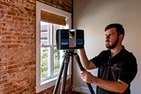
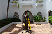
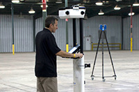
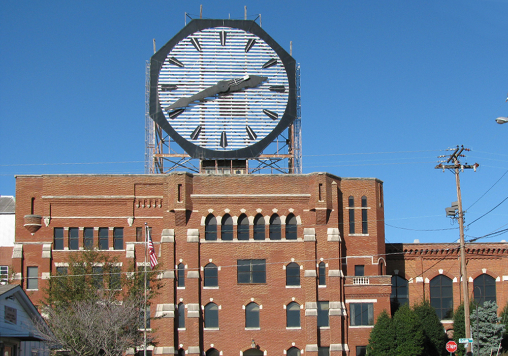
One of the many professional services pertaining to real property that Coast 2 Coast performs is existing condition documentation for conservation and conversion projects. As with many historic preservation projects, design studies and analysis is critical to preparing a project scope. First laser scanners were used to collect data of the entire space. Next laser distance meters and total stations were used to document control points for registration. Finally, a drone survey was completed to capture roof data and document a historic clock on top of the main building.
Clarks Landing Reality Capture Project
Client name:
Clark's Landing Historic Colgate Factory
Location:
Clarksville, IN
Surface Area:
Adaptive Re-Use, Historic Preservation
Category:
As-built Survey, Reality Capture, Aerial Survey
Architect:
3D Model, Digital Twin
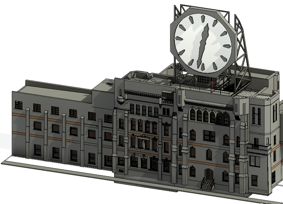
From this data, a 3D model of the building and floorplans were created to facilitate design analysis and feasibility. A working prototype, as well as 3D architectural models and CAD drawings (floorplans, reflected ceiling plans, elevations, etc.), were integrated to produce a working model used for design review. Coast 2 Coast leveraged our Indoor Mapping platform to provide a digital record of the building. This platform integrates point cloud data and 360 photography into a single online platform where stakeholders can examine a digital twin of the space from any internet-connected device.
Coast 2 Coast completed the fieldwork in 12 days and the Revit Model, AutoCAD Drawings, and the Online Viewer were available in 90 days.