San Diego International Airport is the busiest single-runway airport in the United States. As the main airport for the San Diego region, it serves over 20 million travelers from around the world each year. In such a busy environment, the Terminal 2 design team was focused on careful planning and minimizing disruptions during the expansion and enhancement project.
Experience, knowledge, and expertise made the Coast 2 Coast team an ideal survey and modeling partner. What were the specific keys to success on this project?
1-Knowing how to work amid the hustle of an operating business.
Our staff often performs surveys in occupied spaces and understand the necessity to limit disruptions to the facility’s personnel and customers. Field surveyors continuously coordinated survey activities with airport staff, other contractors, and security to minimize the impact on operations of the property. Using tools and processes long established in the civil surveying industry, Coast 2 Coast measured, drafted, and ultimately modeled the physical architecture.
2-Selecting the proper equipment.
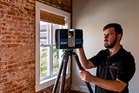
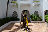
Survey technicians used a combination of equipment and techniques recognized and approved for their instrumental precision. The Leica HDS 6000 high definition laser scanner was utilized to gather scan data of the designated areas of interest. By combining the laser scanner and a LEICA TCR-407 total station precisely, the field team measured horizontal and vertical angles as well as the distances with an accuracy of +/- 7 mm. These tools integrated seamlessly with AutoCAD software.
3-Incorporating best-practices.
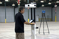
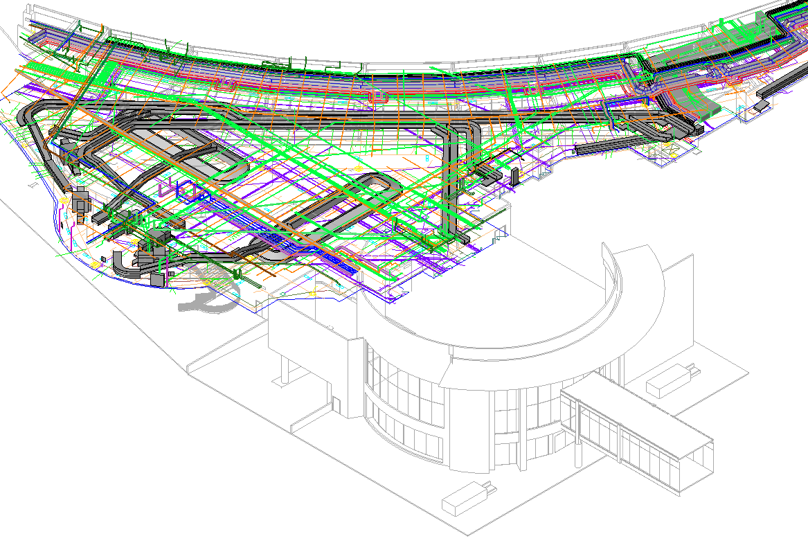
The first step in developing the as-built model was to document the existing architecture within the designated survey limits. Surveyors traversed the perimeter and established a “footprint” of the building. With the footprint established, the interior partitions, columns, and structural elements were captured and incorporated into the framework. Laser scanners were then used to collect data for mechanical systems located above the ceiling, in the baggage room, mechanical rooms, and central plant. By establishing the footprint and framework, the technicians completely avoided cumulative errors. This step was critical because it served as the foundation for the 3-D model and resulted in better accuracy in significantly less time than manual methods or reliance on laser scanning alone.