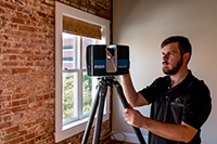
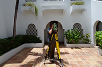
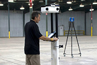
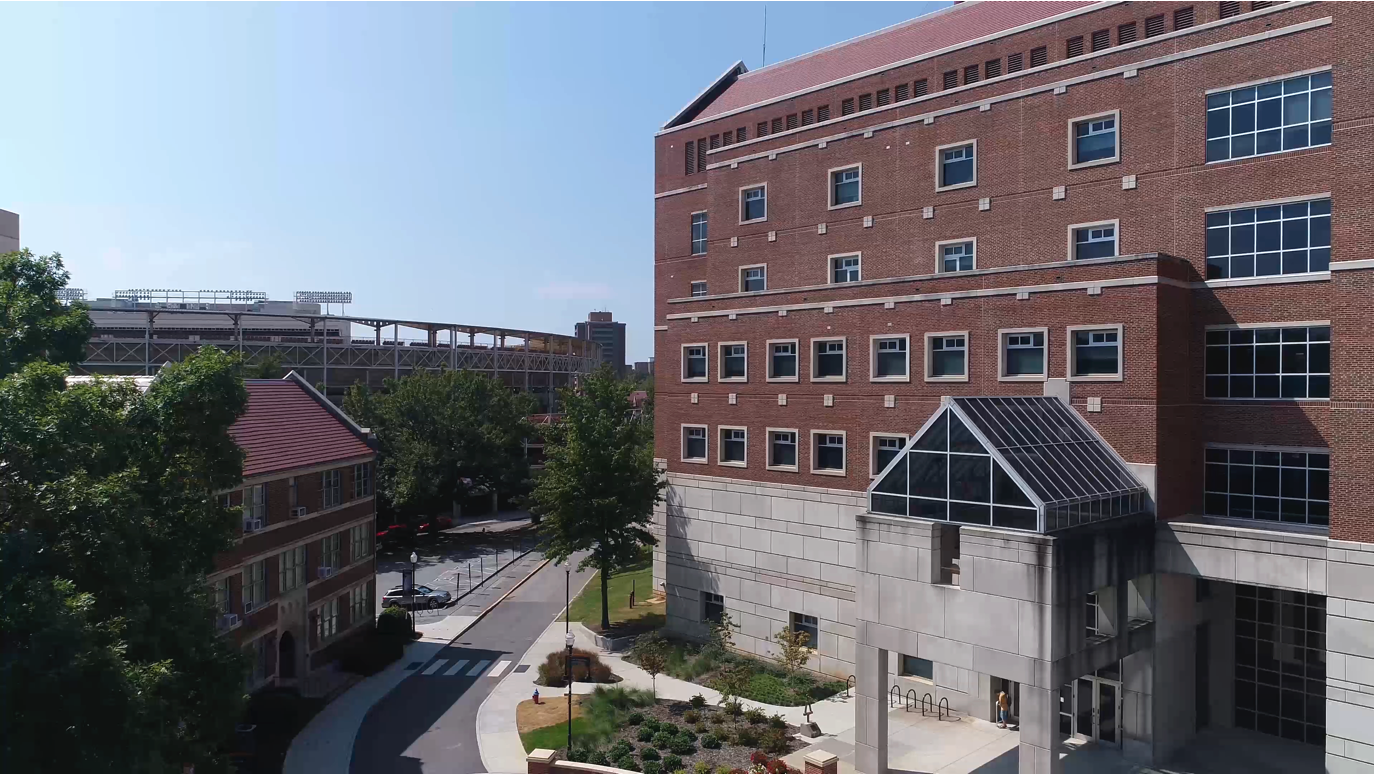
Having a real versus a rendered capture of a building helps to bridge the gap between a concept and the reality. To document inaccessible areas of four historic buildings on the University of Tennessee campus in Knoxville, architects partnered with Coast 2 Coast to conduct an aerial survey in advance of completing more dangerous inspections/repair work on the buildings. Current and clear aerial imagery of the Harris Building, the Hoskins Library, Ferris Hall and Perkins Hall served to enhance communications with visuals that “virtualized” an up-close view of structural defects in hard to reach areas. The drone data gave the team needed context to make better, more collaborative decisions and aid stakeholders in master planning discussions.
UAV Aerial Surveys For U of TN Historic Preservation Project
Client name:
University Of Tennessee Historic Preservation Project
Location:
Knoxville, TN
Surface Area:
Education
Category:
Aerial Survey
Architect:
Photogrammetry, Visualization